About Canvas GIS Advanced
CANVAS 9 Advanced GIS Mapping Edition includes direct support for Geographic Information System data. Take measurements in geographic coordinates, import any popular GIS file types into unlimited numbers of automatically...
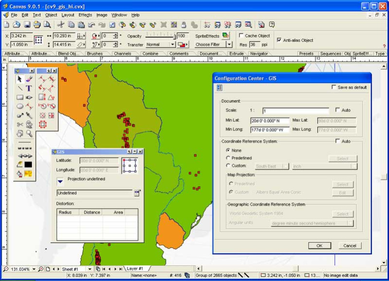
The CANVAS 9 Advanced GIS Mapping Edition adds native support for Geographic Information System (GIS) data to Canvas. You can take measurements in geographic coordinates, import industry standard SHAPE and GeoTIFF files into unlimited numbers of automatically aligned overlapping layers and choose among the following options:
2,104 Coordinate Reference Systems
67 Operation Methods (like Mercator, Albers Conic Equal Area)
1,052 Map Projections
302 Geodetic Datums
21 Angular units
45 Length units
The CANVAS 9 Advanced GIS Mapping Edition bridges the gap between dedicated GIS analysis software and generic DTP software. For many applications CANVAS 9 GIS Mapping Edition can now replace programs costing thousands. For the rest, CANVAS 9 GIS Mapping Edition is now the preferred last mile publishing companion to dedicated GIS analysis software.Files Supported include:
oMapInfo, oARC/INFO, oUSGS, Digital Line Graphs, oTIGER(Census), oMrSID (Win. only), oGML (Geography Markup Language), oSDTS (USGS Spatial Data Transfer Standard), oGIS Text oGarmin (GPS), oECW (Enhanced Compressed Wavelet Images, oS57 (IHO International Hydrographic Organization)
Previous Versions
Here you can find the changelog of Canvas GIS Advanced since it was posted on our website on 2015-04-25 03:00:00.
The latest version is 9.0.4 and it was updated on 2024-04-22 15:27:50. See below the changes in each version.
Canvas GIS Advanced version 9.0.4
Updated At: 2004-04-30
Changes: Expanded GIS platform support, enables you to read & write in various Geo-Science formats
Disclaimer
External Download
We do not host Canvas GIS Advanced on our servers. We did not scan it for viruses, adware, spyware or other type of malware. This app is hosted by the software publisher and passed their terms and conditions to be listed there. We recommend caution when installing it.
The external download link for Canvas GIS Advanced is provided to you by apps112.com without any warranties, representations or guarantees of any kind, so access it at your own risk.
If you have questions regarding this particular app contact the publisher directly. For questions about the functionalities of apps112.com contact us.